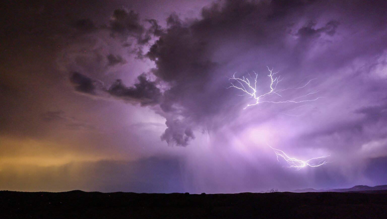
Minneapolis residents were warned about harsh incoming weather for Monday, April 28. The city announced that multiple businesses, including schools, would close in time for the inclement forecast, and a tornado watch was issued for the area.
“The National Weather Service predicts the risk of severe storms in Minneapolis to be unusually high – a level 4 of 5 – with tornadoes, large hail, damaging winds, and frequent lightning likely,” Minneapolis officials said, according to multiple outlets.
Minneapolis Weather Updates
Most of southern Minnesota and the Twin Cities are currently facing inclement weather. The storm was predicted to approach in two waves, with the morning wave bringing downpours and small hail. While no major damage was reported, the second wave is expected to bring more hail, heavy winds and possible tornadoes.
TONIGHT: Significant severe weather outbreak is likely. Tricky setup but definitely will be many tornadoes in the orange and red colors from Missouri to Minnesota. Several strong or violent (EF2+) tornadoes possible in the red shaded area this evening around Minneapolis,… pic.twitter.com/eFL6nbKE2X
— Noah Bergren (@NbergWX) April 28, 2025
Tornado Watch in Minneapolis
As of Monday evening, the National Weather Service (NWS) updated Minneapolis residents that a tornado watch was in effect until 11 p.m. local time. The following counties are the ones at risk, according to several outlets: Rice County, Steele County, Waseca County and Blue Earth County.
What Is a Tornado Watch vs. a Tornado Warning?
The NWS clarifies the difference between a tornado watch and a tornado warning. A tornado watch is a situation to “be prepared” for, according to the NWS’ website.
“Tornadoes are possible in and near the watch area. Review and discuss your emergency plans, take inventory of your supplies and check your safe room,” the NWS advises on its site. “Be ready to act quickly if a warning is issued or you suspect a tornado is approaching. Acting early helps to save lives!”
A tornado warning is for all surrounding areas to “to action,” as the NWS indicates, “A tornado has been sighted or indicated by weather radar. There is imminent danger to life and property. Move to an interior room on the lowest floor of a sturdy building. Avoid windows. If in a mobile home, a vehicle, or outdoors, move to the closest substantial shelter and protect yourself from flying debris. Warnings are issued by your local forecast office. Warnings typically encompass a much smaller area (around the size of a city or small county) that may be impacted by a tornado identified by a forecaster on radar or by a trained spotter/law enforcement who is watching the storm.”
Read the full article here


